
Tipo地形图
点击地图以显示海拔。
关于这张地图
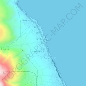
名称:Tipo地形图、海拔、地势。
平均海拔:86 米
最低海拔:0 米
最高海拔:689 米
其他地形图
点击地图以查看其地形、其海拔和其地势。
Lore Lindu National Park
The boundaries of the park are defined by the Palolo Valley to the north, Napu Valley to the east and Bada Valley to the south. The western boundary is formed by a series of narrow valleys, known collectively as the Kulawi Valley. The Palolo, Napu, Lindu and Besoa valleys were once lakes, now partially filled…
平均海拔:1,124 米