
Santa Monica Beach地形图
点击地图以显示海拔。
关于这张地图
名称:Santa Monica Beach地形图、海拔、地势。
平均海拔:190 米
最低海拔:173 米
最高海拔:228 米
其他地形图
点击地图以查看其地形、其海拔和其地势。
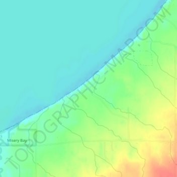
Porcupine Mountains Wilderness State Park
United States > Michigan > Ontonagon County
The mountains are subject to heavy lake-effect snow from Lake Superior. The relatively high elevation of the mountains and their proximity to the lake provide perfect conditions for lake-effect snow, but no official records are maintained anywhere in the mountains. The closest National Weather Service station…
平均海拔:304 米
Porcupine Mountains Wilderness State Park
United States > Michigan > Ontonagon County > Carp Lake Township
The mountains are subject to heavy lake-effect snow from Lake Superior. The relatively high elevation of the mountains and their proximity to the lake provide perfect conditions for lake-effect snow, but no official records are maintained anywhere in the mountains. The closest National Weather Service station…
平均海拔:304 米