
South Dorset地形图
点击地图以显示海拔。
关于这张地图
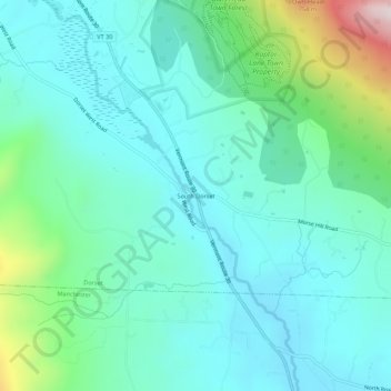
名称:South Dorset地形图、海拔、地势。
平均海拔:377 米
最低海拔:245 米
最高海拔:888 米
其他地形图
点击地图以查看其地形、其海拔和其地势。
Peru
United States > Vermont > Bennington County
Peru is located in northeastern Bennington County, bordered by Rutland County to the north. The crest of the Green Mountains runs from north to the south through the western half of the town, traversed by the Long Trail/Appalachian Trail. 3,300-foot-high (1,000 m) Bromley Mountain and its ski area are in the…
平均海拔:595 米
Manchester
United States > Vermont > Bennington County
Manchester is located in north-central Bennington County, lying between the Green Mountains to the east and the Taconic Range to the west. Equinox Mountain, the highest summit in the Taconics, with an elevation of 3,850 feet (1,170 m), is in the western part of the town. Manchester is drained by the Batten…
平均海拔:453 米