点击地图以显示海拔。
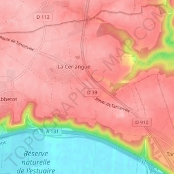
名称:Le Clap地形图、海拔、地势。
地点:Le Clap, La Cerlangue, Le Havre, Seine-Maritime, Normandie, France métropolitaine, 76430, France (49.48236 0.39960 49.52236 0.43960)
平均海拔:88 米
最低海拔:-1 米
最高海拔:129 米