点击地图以显示海拔。
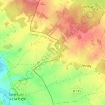
名称:Le Cornet地形图、海拔、地势。
地点:Le Cornet, Saint-Lubin-de-la-Haye, Dreux, Eure-et-Loir, Centre-Val de Loire, France métropolitaine, 28410, France (48.81642 1.57016 48.85642 1.61016)
平均海拔:126 米
最低海拔:82 米
最高海拔:163 米