点击地图以显示海拔。
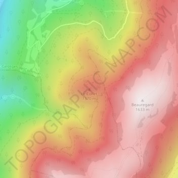
名称:Le Collet地形图、海拔、地势。
地点:Le Collet, Saint-Georges-de-Commiers, Grenoble, Isère, Auvergne-Rhône-Alpes, France métropolitaine, 38450, France (45.01572 5.72903 45.01582 5.72913)
平均海拔:1,182 米
最低海拔:501 米
最高海拔:1,627 米