
Quarry Street地形图
点击地图以显示海拔。
关于这张地图
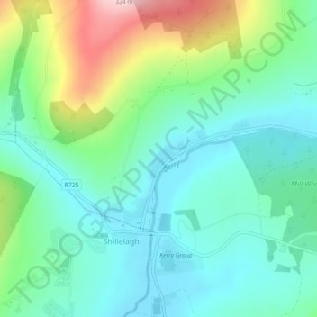
名称:Quarry Street地形图、海拔、地势。
平均海拔:125 米
最低海拔:58 米
最高海拔:298 米
其他地形图
点击地图以查看其地形、其海拔和其地势。
Baltinglass
A nineteenth-century explanation is found in Samuel Lewis' A Topographical Dictionary of Ireland, where he says that the name, "according to most antiquaries," comes from Baal-Tin-Glas, meaning the "pure fire of Baal," and that this suggests that the area was a centre for "druidical worship".
平均海拔:163 米