点击地图以显示海拔。
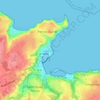
名称:Le Linkin地形图、海拔、地势。
地点:Le Linkin, Perros-Guirec, Lannion, Côtes-d'Armor, Brittany, Metropolitan France, 22700, France (48.78772 -3.45799 48.82772 -3.41799)
平均海拔:24 米
最低海拔:-2 米
最高海拔:79 米