点击地图以显示海拔。
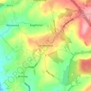
名称:Underwood地形图、海拔、地势。
地点:Underwood, Ashfield, Nottinghamshire, East Midlands, England, NG16 5GF, United Kingdom (53.03007 -1.31698 53.07007 -1.27698)
平均海拔:116 米
最低海拔:60 米
最高海拔:181 米