点击地图以显示海拔。
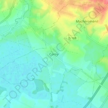
名称:Corny地形图、海拔、地势。
地点:Corny, Corny-Machéroménil, Rethel, Ardennes, Grand Est, France métropolitaine, 08270, France (49.55795 4.42341 49.59795 4.46341)
平均海拔:100 米
最低海拔:82 米
最高海拔:150 米
点击地图以查看其地形、其海拔和其地势。
France > Grand Est > Ardennes > Corny-Machéroménil > Macheromenil
平均海拔:126 米