
Clayton County地形图
点击地图以显示海拔。
关于这张地图
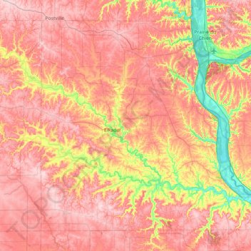
名称:Clayton County地形图、海拔、地势。
地点:Clayton County, Iowa, United States (42.64397 -91.60778 43.08171 -90.89598)
平均海拔:304 米
最低海拔:183 米
最高海拔:387 米
其他地形图
点击地图以查看其地形、其海拔和其地势。
Beaconsfield
United States > Iowa > Ringgold County > Beaconsfield > Beaconsfield
The elevation of Beaconsfield is 1210 feet above sea level.
平均海拔:361 米