点击地图以显示海拔。
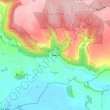
名称:Wass地形图、海拔、地势。
地点:Wass, Ryedale, North Yorkshire, Yorkshire and the Humber, England, YO61 4BE, United Kingdom (54.18684 -1.17086 54.22684 -1.13086)
平均海拔:154 米
最低海拔:64 米
最高海拔:272 米