
Lutsen地形图
点击地图以显示海拔。
关于这张地图
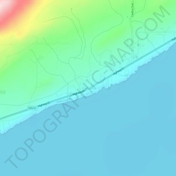
名称:Lutsen地形图、海拔、地势。
平均海拔:225 米
最低海拔:174 米
最高海拔:496 米
其他地形图
点击地图以查看其地形、其海拔和其地势。
Pigeon River
United States > Minnesota > Cook County
The Pigeon River originates from a chain of lakes along the US-Canada border, the highest of which, and furthest west, is Mountain Lake. Among the Pigeon's tributaries is the Arrow River of Ontario, which rises in South Lake, west of and at a lower elevation than Mountain Lake. South Lake is separated only by…
平均海拔:390 米
Brule Lake
United States > Minnesota > Cook County > West Cook
Brule Lake lies in a region which has seen human population since the end of the last ice age. It has variously been within the territory of the Dakota, Cree, Ojibwa, French, British, and Americans. It saw little development until the opening of a railroad that allowed loggers easier access to the interior of…
平均海拔:579 米