点击地图以显示海拔。
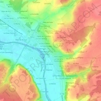
名称:La Ville地形图、海拔、地势。
地点:La Ville, Descartes, Loches, Indre-et-Loire, Centre-Val de Loire, France métropolitaine, 37160, France (46.95443 0.67866 46.99443 0.71866)
平均海拔:80 米
最低海拔:42 米
最高海拔:117 米