
Sandy Hook地形图
点击地图以显示海拔。
关于这张地图
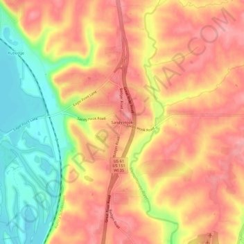
名称:Sandy Hook地形图、海拔、地势。
平均海拔:245 米
最低海拔:178 米
最高海拔:286 米
其他地形图
点击地图以查看其地形、其海拔和其地势。
Mississippi River
United States > Wisconsin > Grant County > Dubuque
The uppermost lock and dam on the Upper Mississippi River is the Upper St. Anthony Falls Lock and Dam in Minneapolis. Above the dam, the river's elevation is 799 feet (244 m). Below the dam, the river's elevation is 750 feet (230 m). This 49-foot (15 m) drop is the largest of all the Mississippi River locks…
平均海拔:203 米