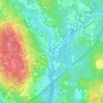
点击地图以显示海拔。
名称:Hope Valley地形图、海拔、地势。
地点:Hope Valley, Hopkinton, South County, Rhode Island, 02832, United States (41.48760 -71.73618 41.52760 -71.69618)
平均海拔:54 米
最低海拔:21 米
最高海拔:116 米
点击地图以查看其地形、其海拔和其地势。
United States > Rhode Island > South County > Hopkinton > Ashaway
平均海拔:31 米
United States > Rhode Island > South County > Hopkinton
平均海拔:105 米
United States > Rhode Island > South County > Hopkinton > Hope Valley
平均海拔:55 米