
Defiance地形图
点击地图以显示海拔。
关于这张地图
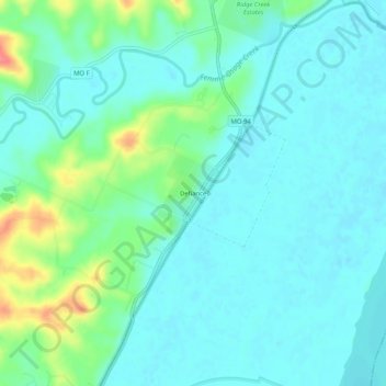
名称:Defiance地形图、海拔、地势。
地点:Defiance, Saint Charles County, Missouri, United States (38.61297 -90.79887 38.65297 -90.75887)
平均海拔:153 米
最低海拔:137 米
最高海拔:206 米
其他地形图
点击地图以查看其地形、其海拔和其地势。
O’Fallon
United States > Missouri > Saint Charles County
O’Fallon is situated on gently rolling terrain that characterizes much of the St. Charles County landscape. The area features elevations ranging from about 400 to 600 feet above sea level, with the land gradually rising as it moves away from the Missouri River to the east. The city is interspersed with a mix…
平均海拔:160 米