点击地图以显示海拔。
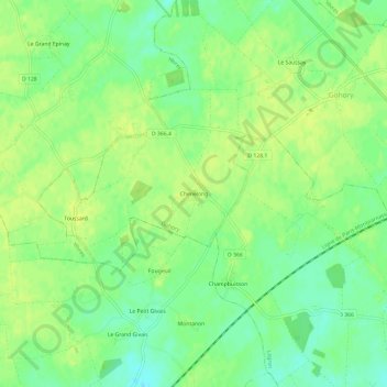
名称:Chenelong地形图、海拔、地势。
地点:Chenelong, Gohory, Châteaudun, Eure-et-Loir, Centre-Val de Loire, France métropolitaine, 28160, France (48.13695 1.18774 48.17695 1.22774)
平均海拔:170 米
最低海拔:159 米
最高海拔:176 米