
Whitehouse地形图
点击地图以显示海拔。
关于这张地图
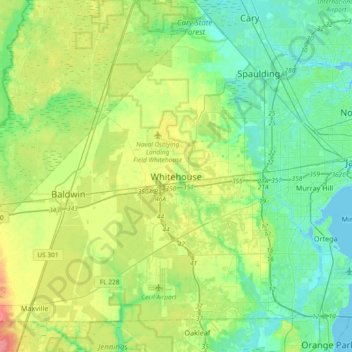
名称:Whitehouse地形图、海拔、地势。
平均海拔:19 米
最低海拔:-2 米
最高海拔:60 米
其他地形图
点击地图以查看其地形、其海拔和其地势。
Jacksonville
United States > Florida > Duval County
Just south of Jacksonville and north of Saint Augustine is the boundary of where the Floridian Peninsula ends and Continental North America begins; Jacksonville is north of that line. While still in the North American Coastal plain, the topography begins to take on slight Piedmont characteristics. Like the…
平均海拔:10 米
Jacksonville
United States > Florida > Duval County
Jacksonville features a predominantly flat topography with an average elevation of approximately 16 feet (5 meters) above sea level. This coastal city is characterized by its extensive riverine systems, particularly the St. Johns River, which meanders through the landscape, contributing to a rich ecosystem of…
平均海拔:10 米
Jacksonville
United States > Florida > Duval County
Just south of Jacksonville and north of Saint Augustine is the boundary of where the Floridian Peninsula ends and Continental North America begins; Jacksonville is north of that line. While still in the North American Coastal plain, the topography begins to take on slight Piedmont characteristics. Like the…
平均海拔:10 米