
Whiting Mountain地形图
点击地图以显示海拔。
关于这张地图
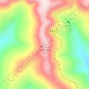
名称:Whiting Mountain地形图、海拔、地势。
地点:Whiting Mountain, Franklin County, Arkansas, United States (35.73670 -93.81691 35.73680 -93.81681)
平均海拔:539 米
最低海拔:342 米
最高海拔:713 米
其他地形图
点击地图以查看其地形、其海拔和其地势。
Altus
United States > Arkansas > Franklin County > Altus
Altus had its start in 1875 when the railroad was extended to that point. Altus station was the highest point on the track. In recognition of this highest railroad elevation between Little Rock and Fort Smith, the station was originally known as "Summit". The town's initial development was due to railroad…
平均海拔:192 米