
Hannans Corner地形图
点击地图以显示海拔。
关于这张地图
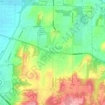
名称:Hannans Corner地形图、海拔、地势。
平均海拔:181 米
最低海拔:125 米
最高海拔:263 米
其他地形图
点击地图以查看其地形、其海拔和其地势。
Town of Greece
United States > New York > Monroe County
Besides the Ridge, wetlands and numerous ponds such as Cranberry Pond, Long Pond and Braddock Bay cover the northernmost portion of the Town of Greece along the shoreline of Lake Ontario. This area has the lowest elevation in the Town of Greece, sitting 243 feet above sea level.
平均海拔:101 米
Town of Penfield
United States > New York > Monroe County
It is believed by some that nearly two million years ago, Penfield's topography was formed by melting glaciers. The same forces that created the Finger Lakes helped develop interesting terrain in and around Ellison Park. These glacial ice melt carvings left fertile lands which today is used in farming (and…
平均海拔:135 米