
Carryville地形图
点击地图以显示海拔。
关于这张地图
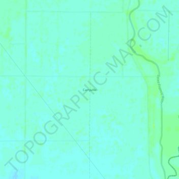
名称:Carryville地形图、海拔、地势。
地点:Carryville, Clay County, Arkansas, United States (36.32228 -90.12398 36.36228 -90.08398)
平均海拔:83 米
最低海拔:80 米
最高海拔:88 米
其他地形图
点击地图以查看其地形、其海拔和其地势。
Corning
United States > Arkansas > Clay County
The topography of Corning is flat, having previously been marshland. Area farmers and builders may attest to this due to the proliferation of gumbo soil, a name given to soil high in clay particulate matter and common in the region.
平均海拔:88 米
Piggott
United States > Arkansas > Clay County
The topography of Piggott is mostly flat in the eastern half of the city with the more developed western half lying along Crowley’s Ridge, creating a sensation of coming down from a small mount to the flatland below. This ridge is a naturally occurring phenomenon created over millennia by wind-blown…
平均海拔:103 米