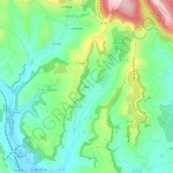
点击地图以显示海拔。
名称:Soult地形图、海拔、地势。
地点:Soult, Ligneyrac, Brive-la-Gaillarde, Corrèze, Nouvelle-Aquitaine, France métropolitaine, 19500, France (45.03646 1.60302 45.07646 1.64302)
平均海拔:237 米
最低海拔:141 米
最高海拔:450 米