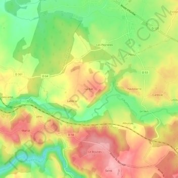
点击地图以显示海拔。
名称:Le Bac地形图、海拔、地势。
地点:Le Bac, Saint-Paul-des-Landes, Aurillac, Cantal, Auvergne-Rhône-Alpes, France métropolitaine, 15250, France (44.90305 2.28629 44.94305 2.32629)
平均海拔:573 米
最低海拔:504 米
最高海拔:634 米