点击地图以显示海拔。
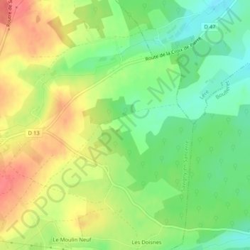
名称:Le Champ Plaide地形图、海拔、地势。
地点:Le Champ Plaide, Savigny-en-Sancerre, Bourges, Cher, Centre-Val de Loire, France métropolitaine, 18240, France (47.43398 2.82262 47.45398 2.84262)
平均海拔:198 米
最低海拔:167 米
最高海拔:233 米