点击地图以显示海拔。
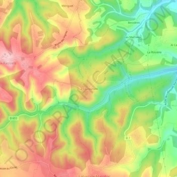
名称:La Courounelle地形图、海拔、地势。
地点:La Courounelle, Labastide-Marnhac, Cahors, Lot, Occitanie, France métropolitaine, 46090, France (44.38747 1.37771 44.42747 1.41771)
平均海拔:251 米
最低海拔:149 米
最高海拔:343 米