点击地图以显示海拔。
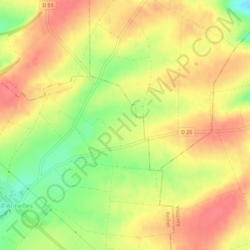
名称:Boeuf地形图、海拔、地势。
地点:Boeuf, Ménil-Annelles, Rethel, Ardennes, Grand Est, France métropolitaine, 08310, France (49.43807 4.45314 49.45807 4.47314)
平均海拔:141 米
最低海拔:102 米
最高海拔:166 米