
Mossel Bay地形图
点击地图以显示海拔。
Mossel Bay
To the east, the land slopes upwards towards the wave-cut platform (average elevation 245 metres) that characterises the more lush all-year-round rainfall area of the Garden Route. Here the land is mostly covered by grass and farmlands. The deep sandy soils of the western portion of the municipal area also give way to grass and farm-lands, with large stands of typically dry fynbos which are characterised by, amongst others, the Aloe ferox (also known as the bitter aloe, Cape aloe or red aloe) from which skin-care products are made locally, and the Chondropetalum tectorum (Cape or thatching reed) which is used for the roofing of traditional Cape-Dutch buildings.
关于这张地图
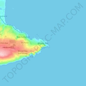
名称:Mossel Bay地形图、海拔、地势。
地点:Mossel Bay, George, Western Cape, 6500, South Africa (-34.22320 22.11362 -34.14320 22.19362)
平均海拔:16 米
最低海拔:-2 米
最高海拔:192 米
其他地形图
点击地图以查看其地形、其海拔和其地势。