点击地图以显示海拔。
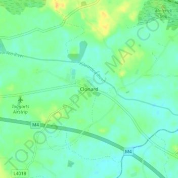
名称:Clonard地形图、海拔、地势。
地点:Clonard, The Municipal District of Trim, County Meath, Leinster, Ireland (53.43126 -7.04176 53.47126 -7.00176)
平均海拔:70 米
最低海拔:62 米
最高海拔:86 米