点击地图以显示海拔。
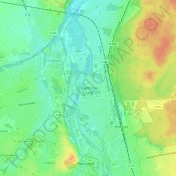
名称:Centre Ville地形图、海拔、地势。
地点:Centre Ville, Chalette-sur-Loing, Châlette-sur-Loing, Montargis, Loiret, Centre-Val de Loire, France métropolitaine, 45120, France (47.99496 2.71197 48.03496 2.75197)
平均海拔:94 米
最低海拔:76 米
最高海拔:119 米