点击地图以显示海拔。
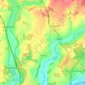
名称:Chapmore End地形图、海拔、地势。
地点:Chapmore End, Bengeo Rural, Tonwell, East Hertfordshire, Hertfordshire, England, SG12 0HF, United Kingdom (51.80968 -0.09356 51.84968 -0.05356)
平均海拔:65 米
最低海拔:33 米
最高海拔:100 米