点击地图以显示海拔。
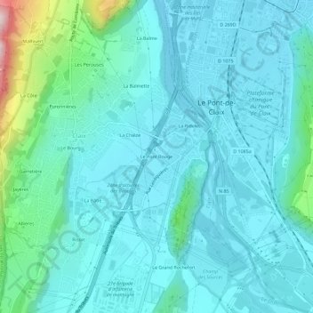
名称:Le Pont Rouge地形图、海拔、地势。
地点:Le Pont Rouge, Claix, Grenoble, Isère, Auvergne-Rhône-Alpes, France métropolitaine, 38640, France (45.09736 5.66691 45.13736 5.70691)
平均海拔:297 米
最低海拔:230 米
最高海拔:683 米