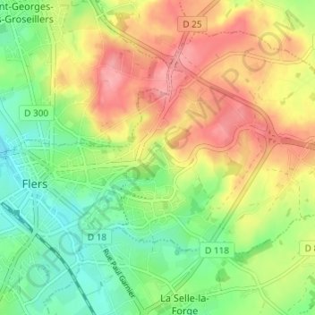
点击地图以显示海拔。
名称:La Fouquerie地形图、海拔、地势。
地点:La Fouquerie, Flers, Argentan, Orne, Normandy, Metropolitan France, 61100, France (48.73174 -0.56594 48.77174 -0.52594)
平均海拔:226 米
最低海拔:181 米
最高海拔:278 米