
Wansfell (Baystones)地形图
点击地图以显示海拔。
Wansfell (Baystones)
Wansfell has an extensive summit ridge with two tops. The highest point of the fell is called Baystones with a height of 488 m (1,601 ft), while Wansfell Pike, which lies a kilometre to the south west reaches an elevation of 482 m (1,581 ft). Of the two summits, Wansfell Pike is regarded as the “true” summit of the fell by many fell walkers because of its superior view, even though it is the lower of the pair.
关于这张地图
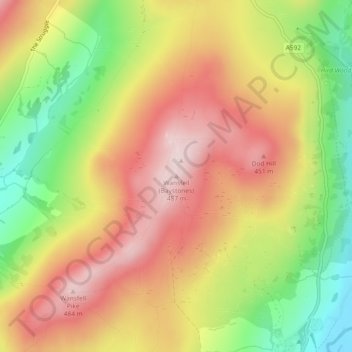
名称:Wansfell (Baystones)地形图、海拔、地势。
平均海拔:320 米
最低海拔:125 米
最高海拔:484 米
其他地形图
点击地图以查看其地形、其海拔和其地势。