点击地图以显示海拔。
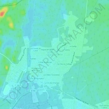
名称:Lège-Cap-Ferret地形图、海拔、地势。
地点:Lège-Cap-Ferret, Arcachon, Gironde, Nouvelle-Aquitaine, Metropolitan France, 33740, France (44.77511 -1.16721 44.81511 -1.12721)
平均海拔:8 米
最低海拔:0 米
最高海拔:42 米