点击地图以显示海拔。
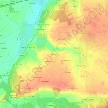
名称:L'Auberdière地形图、海拔、地势。
地点:L'Auberdière, Saint-Éliph, Nogent-le-Rotrou, Eure-et-Loir, Centre-Val de Loire, France métropolitaine, 28240, France (48.42979 0.98966 48.46979 1.02966)
平均海拔:230 米
最低海拔:197 米
最高海拔:252 米