点击地图以显示海拔。
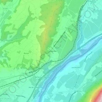
名称:La Chataîgnière地形图、海拔、地势。
地点:La Chataîgnière, Têche, Grenoble, Isère, Auvergne-Rhône-Alpes, France métropolitaine, 38470, France (45.15093 5.34838 45.19093 5.38838)
平均海拔:295 米
最低海拔:171 米
最高海拔:699 米