点击地图以显示海拔。
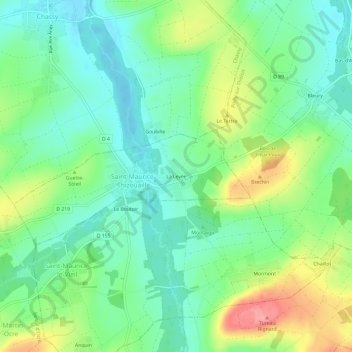
名称:La Levée地形图、海拔、地势。
地点:La Levée, Saint-Maurice-Thizouaille, Auxerre, Yonne, Bourgogne-Franche-Comté, France métropolitaine, 89110, France (47.81432 3.35014 47.85432 3.39014)
平均海拔:151 米
最低海拔:117 米
最高海拔:219 米