点击地图以显示海拔。
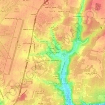
名称:Le Grand Vaudasnière地形图、海拔、地势。
地点:Le Grand Vaudasnière, Rochecorbon, Tours, Indre-et-Loire, Centre-Val de Loire, France métropolitaine, 37210, France (47.41023 0.72814 47.45023 0.76814)
平均海拔:100 米
最低海拔:55 米
最高海拔:119 米