点击地图以显示海拔。
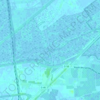
名称:Tour Carbonnière地形图、海拔、地势。
地点:Tour Carbonnière, D 46, Saint-Laurent-d'Aigouze, Nîmes, Gard, Occitanie, France métropolitaine, 30220, France (43.59209 4.20931 43.59219 4.20941)
平均海拔:1 米
最低海拔:-4 米
最高海拔:10 米